Farmland maps and field reports with Tero, an AI map assistant, for Argentina and the contiguous US.
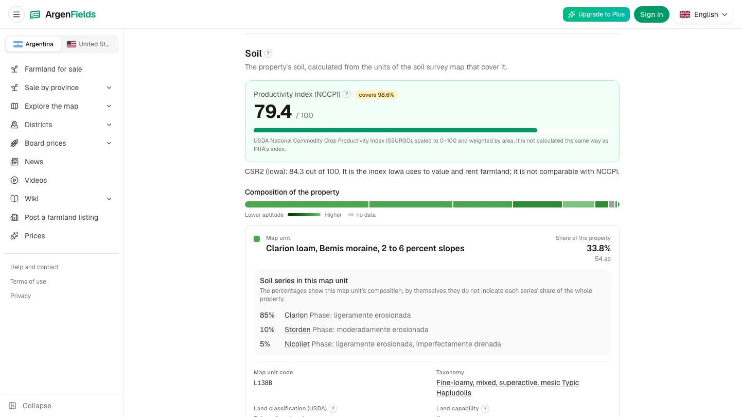
ArgenFields soil and field report
1 / 3Overview
What is ArgenFields?
Farmland maps and reports for Argentina and the US
ArgenFields is a web platform for understanding farmland in Argentina and the contiguous United States. Explore mapped parcels or define a field boundary to read a technical report bringing together soil, climate, water, terrain, land use, mapped risks and routes to market.
US reports combine public datasets including USDA NRCS SSURGO and NCCPI, USDA NASS, USGS and FEMA, depending on the section and location. County pages and soil-series articles provide regional context. New US features include indicative cash-rent and land-value ranges, an initial solar-potential screening and dated regional grain-price reports with basis.
In Argentina, soil and terrain information draws on INTA, IGN and other public sources identified in each section. A map assistant helps users explore the available information.
The map, regional pages and soil wiki are free. Full field reports have a weekly allowance on the free plan; paid plans add capacity. ArgenFields is not a real-estate agency and charges no commission on property transactions.
Data is indicative, coverage varies, and missing information does not establish absence of risk. The platform does not replace an on-site study or an appraisal.
Tero is the AI map assistant within ArgenFields. It helps users explore available information and navigate the map. The underlying reports identify their sources and coverage.
GeoRank is a related option for broad map-based climate and location comparisons. ArgenFields focuses on farmland reports for Argentina and the contiguous US.
Platforms and languages
ArgenFields Availability
Platforms
Languages
Product video
ArgenFields in action
Capabilities
ArgenFields Key Features
Farmland maps and field reports
Explore Argentina and the contiguous US with soil, climate, water, terrain, mapped risks and logistics, with public sources and coverage shown.
Tero map assistant
Use the AI map assistant to explore available information and navigate the map.
US county and soil context
Read county pages and soil-series articles for regional context on US farmland.
Indicative US screening data
Where available, review indicative cash-rent and land-value information, solar-potential screening and dated regional grain-price reports. These do not replace an appraisal or on-site study.
Best for
Who uses ArgenFields?
Farmers, landowners, agronomists and farmland buyers
Research farmland in Argentina and the contiguous US, compare available information and identify questions for an on-site visit.
Plans and access
ArgenFields Pricing
Freemium
The map, regional pages and soil wiki are free. Full field reports include a weekly allowance on the free plan; monthly and annual paid subscriptions add capacity. Prices depend on country, currency and billing period. Check the official pricing page for current plans.
Common questions
ArgenFields FAQs
Which countries does ArgenFields cover?
ArgenFields covers Argentina and the contiguous United States. Data availability varies by section and location, and missing information does not establish absence of risk.
ArgenFields Alternatives

Reviews
See what the community thinks and share your experience.
—
Based on 0 ratings
Rating distribution
Community reviews
No reviews
No written reviews yet.